
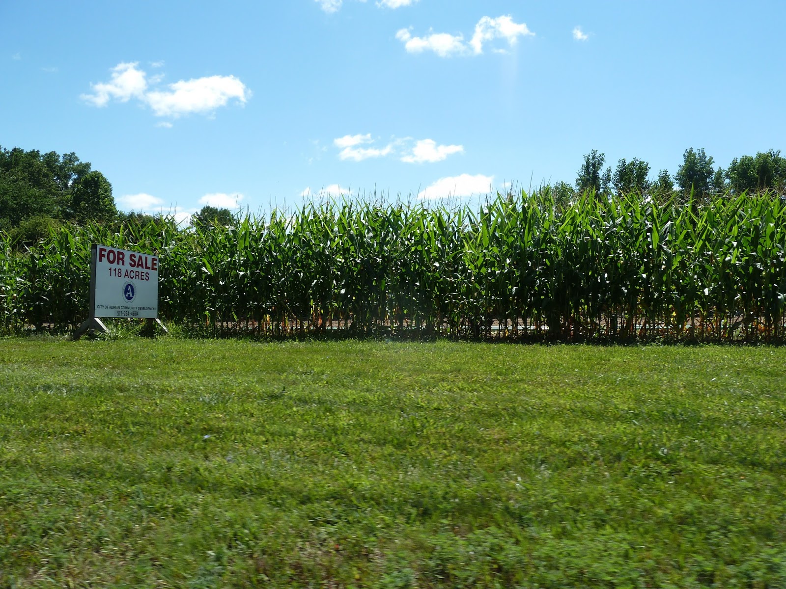
The pipeline progressed much further than I thought. It is well hidden behind one row of corn plants. After a few pictures from Wizz Computer opposite of Witt Farm you follow me South on M52 towards Adrian. The pictures were actually made after returning North bound out of the city to have a better view - but I present them here as if you are going South from Witt Farm.


Here the pipeline will cross M52

Seemingly running towards this house (see the blue flagging stake). Adding up to something like this. Probably achieved by horizontal drilling from the corn field to the drill site of Carson?

There is also substantial work going on at the Carson Highway end of the pipeline. As in the case of Savoy's 1st pipeline from Heritage Park to Witt Farm, again it looks like there are 5 parallel pipes to avoid getting a permit for one larger pipeline for going under Beaver Creek. This will again involve horizontal drilling. Whether they will drill horizontally all the way from Carson to the corn field across M52 - or just under M52, then have the pipes buried 4 feet under going through the property on the west side of M52 shown above, and again drilling horizontally under Beaver Creek and then again standard 4 feet under ground to the Carson site is not clear yet - and it will be difficult to follow as it will go almost entirely through private land...

Again, Savoy's pipelines pass through very close to nationally recognized wetlands and cuts under Beaver Creek and through - or under one of the largest forested areas within or close to city limits.
No comments:
Post a Comment