


The Google Earth Profile shows a distance of almost 1 mile.
Here are some of the flagged stakes following the track. Starting at the drill site, which now exploits two wells.

Passes the sledge hill and enters the disc golf area.

Climbs down to the parking lot area.

Cuts through the disc golf area heading towards the wetland.

Turns right and follows the tree-line.


At the forest it turns left again. And heads again towards the wetland.

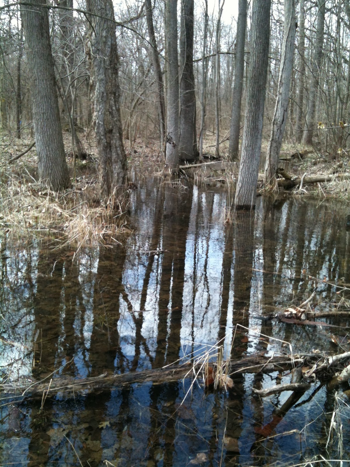
That is currently quite substantially flooded.

Here the flagging stops - I guess they did not want to get too wet...
After a while I found one last stake in the forest to the right of the above stake - right at the banks of Beaver Creek.
The forest at this area is quite remarkable being full of American buckeye and trout lilies.


I found the pipeline track again on the other side of Beaver Creek, where it cuts through farmland and approaches Howell Highway.

Crosses the highway, and cuts through more farmland to reach the Central Processing Facility on Witt Farm.

A few more impressions of the flooding that is going on, which attracts plenty of wading birds and swallows.


No comments:
Post a Comment