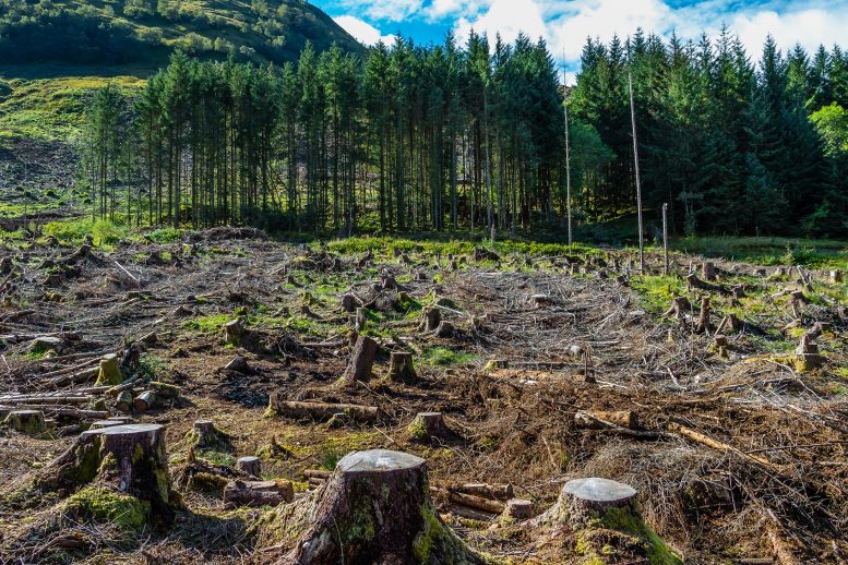
Global satellite imagery shows transitions occur quickly after blocks of forest are cut in half.
University of Cincinnati geography researchers have identified a tipping point for deforestation that leads to rapid forest loss.
Geography professor Tomasz Stepinski used high-resolution satellite images from the European Space Agency to study landscapes in 9-kilometer-wide blocks across every inch of the planet between 1992 and 2015. He found that deforestation occurs comparatively slowly in these blocks until about half of the forest is gone. Then the remaining forest disappears very quickly.

The study was published in the journal Geophysical Research Letters.

No comments:
Post a Comment